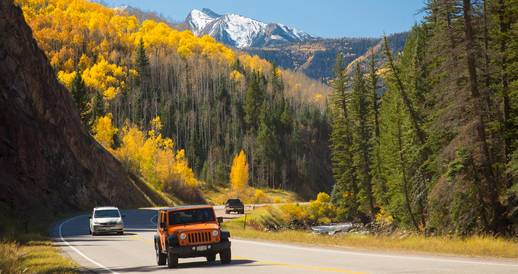
The West Elk Loop Scenic and Historic Byway has been described by a forest ranger as “the closest you can come to a wilderness experience in a passenger car.” This route has a unique combination of geological, historical, recreational, and scenic features.
Carbondale is the gateway for this magnificent adventure that takes you through the Crystal River Valley, whose well-watered reaches made it a favorite among both Native American and pioneer settlers. Scenic features include views of mountain ranges, fields of alpine wildflowers, farmlands, and cattle ranches. Recreational opportunities abound with hiking, backpacking, cycling, photography, rock climbing, and wildlife viewing.
Length: 205 miles | Driving time: 6 to 8 hours.
Special considerations: 31-mile gravel section over Kebler Pass closed in winter.
Kebler Pass is a gorgeous trip that takes motorists on a climb to over 10,000 feet between Crested Butte and Highway 133. The 30 mile long drive (one way) takes around two hours under normal driving conditions. Kebler Pass gives visitors a chance to take in the colorful aspen trees of the surrounding area especially during peak color time in the fall months. The brilliant shades of orange, yellow and red are certainly a sight to see. The landscape is also quite stunning in other seasons as well and is a wonderful example of the beauty of Colorado’s natural lands. Driving over the pass gives amazing views of the surrounding West Elk Mountains and the Ruby Range giving photographers lots of subjects to snap a picture of along the way.
The Maroon Bells are two mountain peaks, Maroon Peak and North Maroon Peak. They are “fourteeners” (mountains over 14,000 feet above sea level). These distinct peaks are named for their red hue and distinctive shape. They are known as the the most photographed peaks in all of North America. Closed during the snowy season, it opens some time in spring. During the off season you can drive to Maroon Lake; in summer, access is via shuttle bus.
Castle Creek Road is just to the south of the road to Maroon Bells and is another scenic mountain drive. Castle Creek Road takes you past to the historic mining town of Ashcroft where a few old buildings still stand. On the way up, you’ll drive past a crisp mountain creek with signs of beaver activity. You’ll also get some great mountain views from the road. From mid to late September, the area is a full of fall color, mostly the yellow of the aspen trees which grow in large amounts in the area.
Independence Pass is another seasonal drive that will bring oohs and aahs to your lips. The road is usually open from Memorial Day Weekend through the first significant snow (usually around November 1st). With an elevation of 12,095 feet, it’s the highest paved road in Colorado on a pass. On the west (the Aspen side), the road (Colorado 82) runs along Roaring Fork River. There are lots of places to pull over, picnic and even camp. You can drive to the top and turn around or continue on past Twin Lakes and connect with Colorado 24 which goes to Leadville to the north and Buena Vista to the south.
The Frying Pan Road runs along the Frying Pan River and up to its source, Ruedi Reservoir. This drive features amazing views of the canyon and picturesque seems along the river. Bring your fly rod and stop along the way to take advantage of the gold medal trout fishing on the Frying Pan River.